
A bicycle shaped like a horizontal figure-eight —since last year, I’ve seen this symbol in various colors on bike path signs. However, I couldn’t find the corresponding routes by Googling them. The search engine’s AI response claimed it was the Aachen Loop. Source: this text. It seemed familiar to me—no wonder, since I had written it myself—and no, routes with infinity symbols do not appear in it. I was finally freed from this vicious circle of ignorance by the Aachen City Region’s cycling route brochure: The seven time loops were created with support from the state of North Rhine-Westphalia and invite you to explore new, thematic perspectives on the city region.
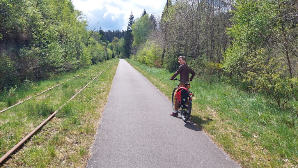
I’ll take you on a tour of the three time loops that are easiest to reach from Aachen. [Since not every turn is clearly marked, it’s a good idea to check the routes on Outdooractive or Komoot (the links will take you to the Aachen City Region’s account) so you can verify that you’re still on the right track if you’re unsure.]
Judith C. Vogt
lives with her family in Aachen-Eilendorf, where she writes and translates novels and non-fiction texts. To balance out her day-to-day writing, she goes on extensive cycling and hiking tours in the Euregio region and is always fascinated by new perspectives and insights.
Die Städtische – The Blue-Gray Time Loop


🚴44 km, 4 hours, 309 m elevation gain, hilly, mostly well-paved side roads
The "Rothe Erde" loop trail, marked in blue-gray, officially starts at the Rothe Erde train station, but you can join it almost anywhere in the eastern part of the city. It offers a lovely mix of green recreational areas and history between Aachen, Kornelimünster, and Stolberg.
The former Vennbahn railway line covers most of the elevation gain right at the start with a gentle incline. In Kornelimünster , the route takes a detour through the old town and then climbs steeply for a short stretch up to the plateau of the Münsterland’s hedgerow landscape. In Breinig, the historic town center with its blue stone houses actually tempts you to slow down, but the road, with its maze of parked cars and oncoming traffic, offers little opportunity to do so.
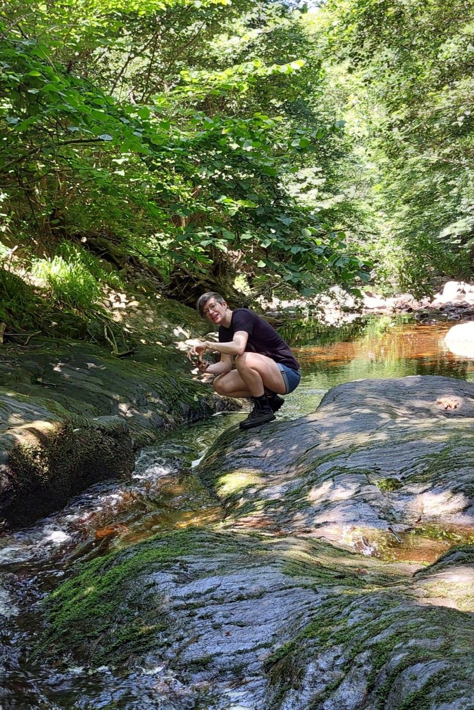
From there, the trail winds along dirt paths into the unique heathland of the Schlangenberg. Only a few plants can withstand the lead in the soil, which was mined here by the Celts and Romans —in the spring, these include the rare calamine violet, which grows only in the Aachen region!
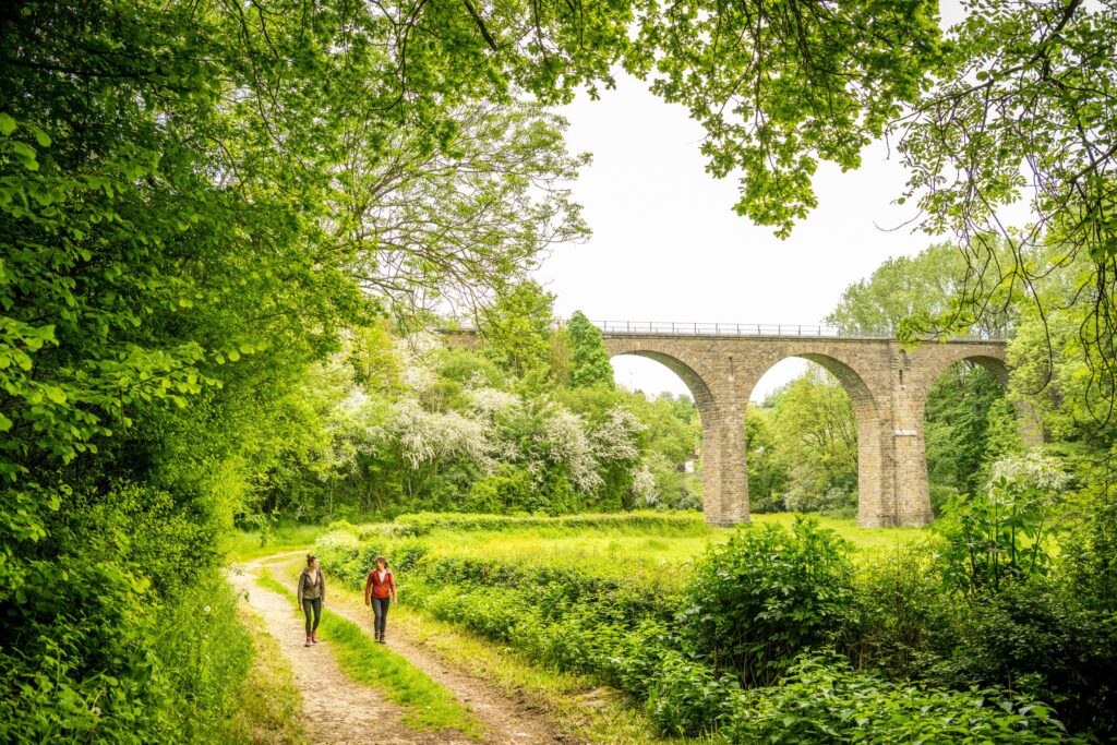
We continue on into the rocky valley of the Vicht, passing through an area of industry that has a slightly dystopian feel. Yet this narrow valley soon opens up dramatically to reveal Stolberg’s old town, with its castle towering above. As in Kornelimünster, the effects of the 2021 flood disaster are still evident here, but the downtown area is recovering, with interesting shops and cafés.
The route climbs steeply once more to the Zinkhütter Hof Industrial Museum, then descends to the Inde River and from there winds leisurely through the Würselen Forest. The scenery becomes more urban starting at Verlautenheide, where the route follows the bike path—which opened in April—under the new A544 bridge and along the Wurm River into the imperial city.
Tips for on the go
☕ At the start of the tour, Café Cornelius is a great place to stop; at the end of the tour, you can relax near the cathedral—for example, at Café Dom.
🏰If you still have enough energy for sightseeing after your bike ride, you can visit the Stolberg Castle and experience older history, and at the Zinkhütter Hof Industrial Museum, you can explore more recent history.
The Masterful – The Orange-Yellow Time Loop


🚴27.2 km, 2:30 h, 217 m elevation gain, hilly, mostly well-paved side roads
The "Kupfererbe" loop, marked with orange-yellow signs, officially begins at Stolberg Central Station—the easiest way to get there by bike is via the Euregiobahn. Since this is the shortest time loop, however, it makes sense to cycle from Aachen via the Vennbahnweg, Deltourserb, and Buschmühle to the Inde River and join the loop there (this makes the tour about 15 km longer).
The route captivates with its now idyllic and varied landscapes, which, ironically, are testaments to European industrial culture. Starting with three former metalworking water mills in the Inde Valley , the route leads to the Tatternsteine in the Brander Forest, where dwarf figures allude to mining myths. Just past Büsbach, all three tours described here briefly converge on the Münsterländchen plateau. In Breinig, the blue-gray loop branches off; the red route continues parallel to it until Venwegen, where the highest point of the tour is reached and the path descends gently through the forest until you meet up with the blue-gray route again on the Schlangenberg. The route remains the same all the way into the copper town of Stolberg (see above). Where the blue-gray route then climbs up to the Zinkhütter Hof, the orange-yellow route stays in the valley and completes the loop at the Inde—where you can board the Euregiobahn again at the train station or cycle back toward downtown from Münsterbusch via Eilendorf.
Tips for on the go
🧺Schlangenberg invites you to enjoy the view while picnicking under the pine trees—provided you take care not to disturb the rare flora and fauna.
☕ Stolberg’s historic downtown, restored after the 2021 flood disaster, is a sight to behold! Breakfast and pastries are available at the friendly Café Eck, and savory dishes at the bistro By George in the shadow of the castle.
The Connector – The Red Time Loop


🚴42 km, 3:30 h, 343 m elevation gain, hilly, mostly well-paved side roads
The Liberation Time Loop, which officially begins in Roetgen, is marked in red. You can get there by taking the bike bus, for example, or by cycling from downtown along the Vennbahnweg to Kornelimünster and joining the tour there (though this makes the total distance of the tour 24 km longer).
In keeping with its theme, the route begins with a historical exhibition at the Pferdeweiher trailhead: On September 12, 1944, American soldiers marched in from Raeren, making Roetgen the first German municipality to be liberated during World War II. On the way to the Dreilägerbach Dam, the route passes the Westwall Bridge, which features information about the defense system—its partially overgrown concrete triangles are prominently visible in many places throughout the urban region.
The tour then passes the drinking water reservoir, circles around Rott, and heads to Mulartshütte—the forest there is part of one of the largest contiguous forest areas in Germany! In Venwegen, the tour joins its orange-yellow counterpart and leads through the Münsterland region to Kornelimünster, where it follows the Vennbahnweg in wide, gentle curves back up to Roetgen—the gateway to the Eifel.
Tips for on the go
🍺A wide selection ofBelgian beers is available at the Raeren Station Café , where you can enjoy it in old train cars.
🍕The station vision in Kornelimünster was once a train station. Savory treats are available on the lawn and in the interior, which is packed with railway details, and ice cream from the Café Lammerskötter ice cream truck!
Have you seen these posts yet?
Mail from Aachen
Sign up for our newsletter and get a little piece of Aachen—no matter where you are!
